0 WHIDAH RD
Owner Information
CANON HILL ASSOCIATION
328 WHIDAH RD
N CHATHAM, MA 02650


Property Details
0 WHIDAH RD is classified as a Undevelopable Residential Land.
0 WHIDAH RD is valued at $15,700. The land is valued at $15,700 and the structures are valued at $0.
This property is in Zone R40. Confirm with local Zoning Board authorities to ensure there are no overlays or other easements on this property.
0 WHIDAH RD was last sold on Wednesday, December 31, 1975 for $1.
Assessment data from fiscal year 2018.
Flood Data
According to the FEMA National Flood Hazard Layer, this property does not appear to be in a flood zone. It may also be in an area not yet reviewed. Nonetheless, confirm this information prior to taking any action.
To view the flood hazards around this property, create a FEMA "Firmette" Map of the area around 0 WHIDAH RD.
Broadband Internet Providers
| Provider | Type | Bandwidth (mbps) | |
|---|---|---|---|
| HughesNet | Satellite | 25 | 3 |
| Viasat Inc | Satellite | 35 | 3 |
| Verizon New England Inc. | DSL | 5 | 0 |
| Comcast | Cable | 1000 | 35 |
| GCI Communication Corp. | Satellite | 0 | 0 |
| VSAT Systems, LLC. | Satellite | 2 | 1 |
Broadband service provider data from December 2020.
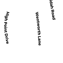
Adjacent Properties
- 100 HIGH POINT DR
Single Family Residential owned by REGINA A LETTERI REV TRUST - 99 WENTWORTH LN
Single Family Residential owned by SMITH CHRISTOPHER A & LISA R - 82 WENTWORTH LN
Single Family Residential owned by HAAS REAL ESTATE TRUST - 88 WENTWORTH LN
Single Family Residential owned by 88 WENTWORTH LANE NOMINEE TRUST - 165 WHIDAH RD
Single Family Residential owned by TRAILOR ROLAND R SR & COLETTE B - 66 WENTWORTH LN
Single Family Residential owned by ANGELO M PAOLANTONIO RT & - 99 HIGH POINT DR
Single Family Residential owned by KARIO SALAM F - 293 WHIDAH RD
Single Family Residential owned by FEENEY & FEENEY LLC